Silk Road
2017-03-15 14:27
CHINAFRICA 2017年3期
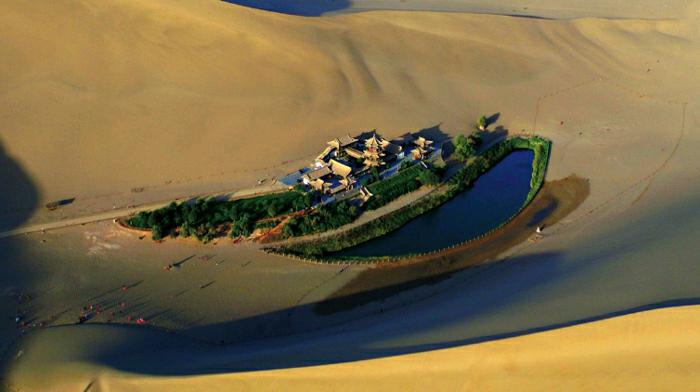
THE Routes Network of Changan-Tianshan Mountains Corridor is a 5,000-km section of the greater Silk Road network, stretching from two ancient capitals Changan (now Xian in Shaanxi Province) of the Western Han Dynasty (206 B.C.-A.D.25) and Luoyang (now in Henan Province) of the Eastern Han Dynasty (25-220), to the Zhetysu region of Central Asia. The Tianshan Mountains corridor was one section of the more extensive Silk Road network, which encompassed a complex network of trade routes extending to some 8,700 km.
The network took shape between the second century B.C. and the first century A.D., flourished between the sixth and 14th century and remained in use as a major trade route until the 16th century. The network used to link multiple civilizations and facilitate far-reaching exchanges of activities in trade, religious beliefs, scientific knowledge, technological innovation, cultural practices and the arts. The routes served principally for longdistance trade in raw materials, foodstuffs, and luxury goods. Some areas had a monopoly on certain materials or goods: notably China, who supplied Central Asia, South Asia, West Asia and the Mediterranean region with silk. Many of the high-value trade goods were transported over vast distances - by pack animals and river craft.
Thirty-three sites are located along the corridor, including capital cities and palace complexes of various empires and Khan kingdoms, trading settlements, Buddhist cave temples, ancient paths, posthouses, mountain passes, beacon towers, sections of the Great Wall, fortifications, tombs and religious buildings. The series of Buddhist pagodas and large, elaborate cave temples extending from Kuqa County in the Xinjiang Uygur Autonomous Region in the west to Luoyang in the east, records the eastward transmission of Buddhism from India via Karakorum, and demonstrates an evolution in the design of stupas as local ideas were gradually absorbed.